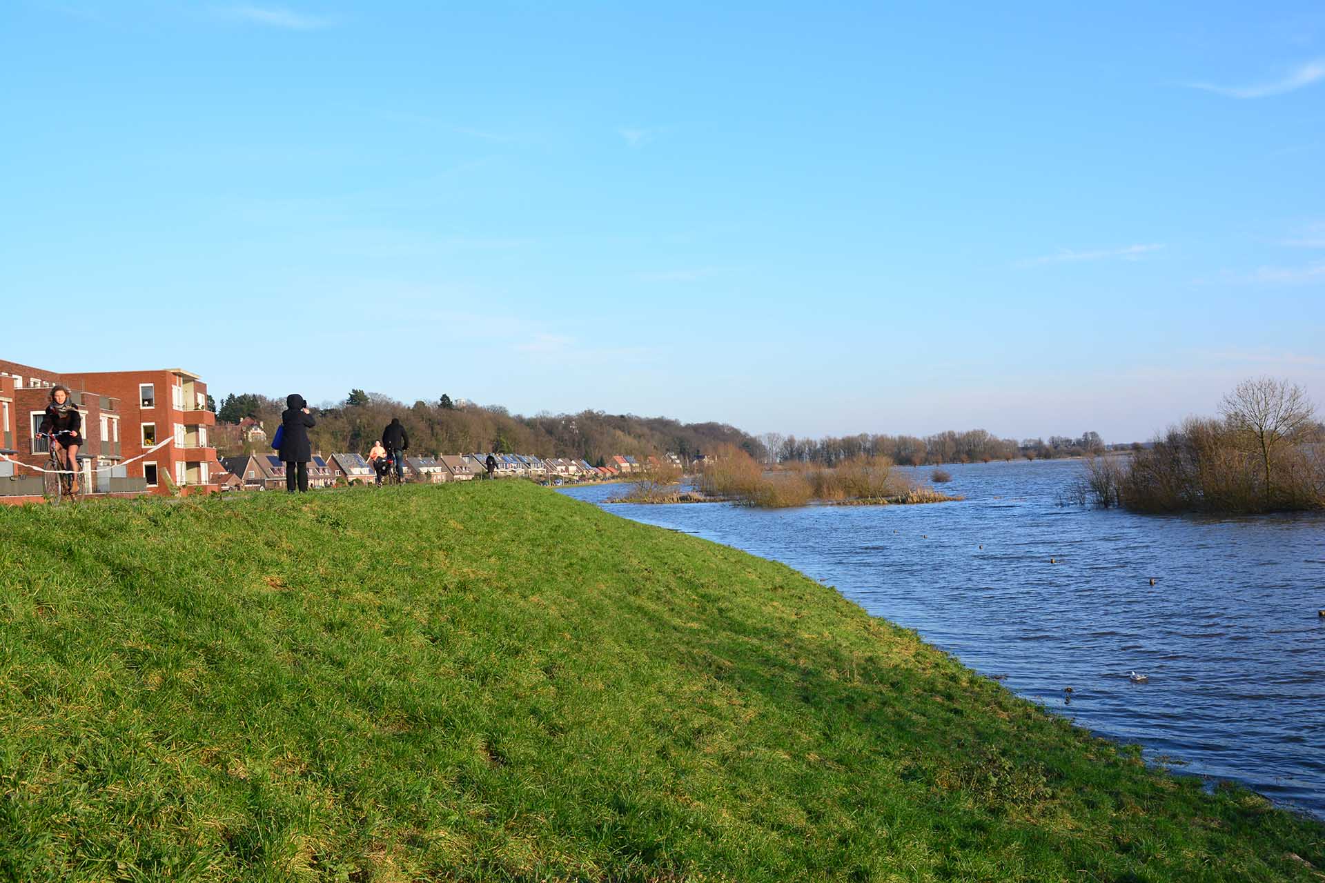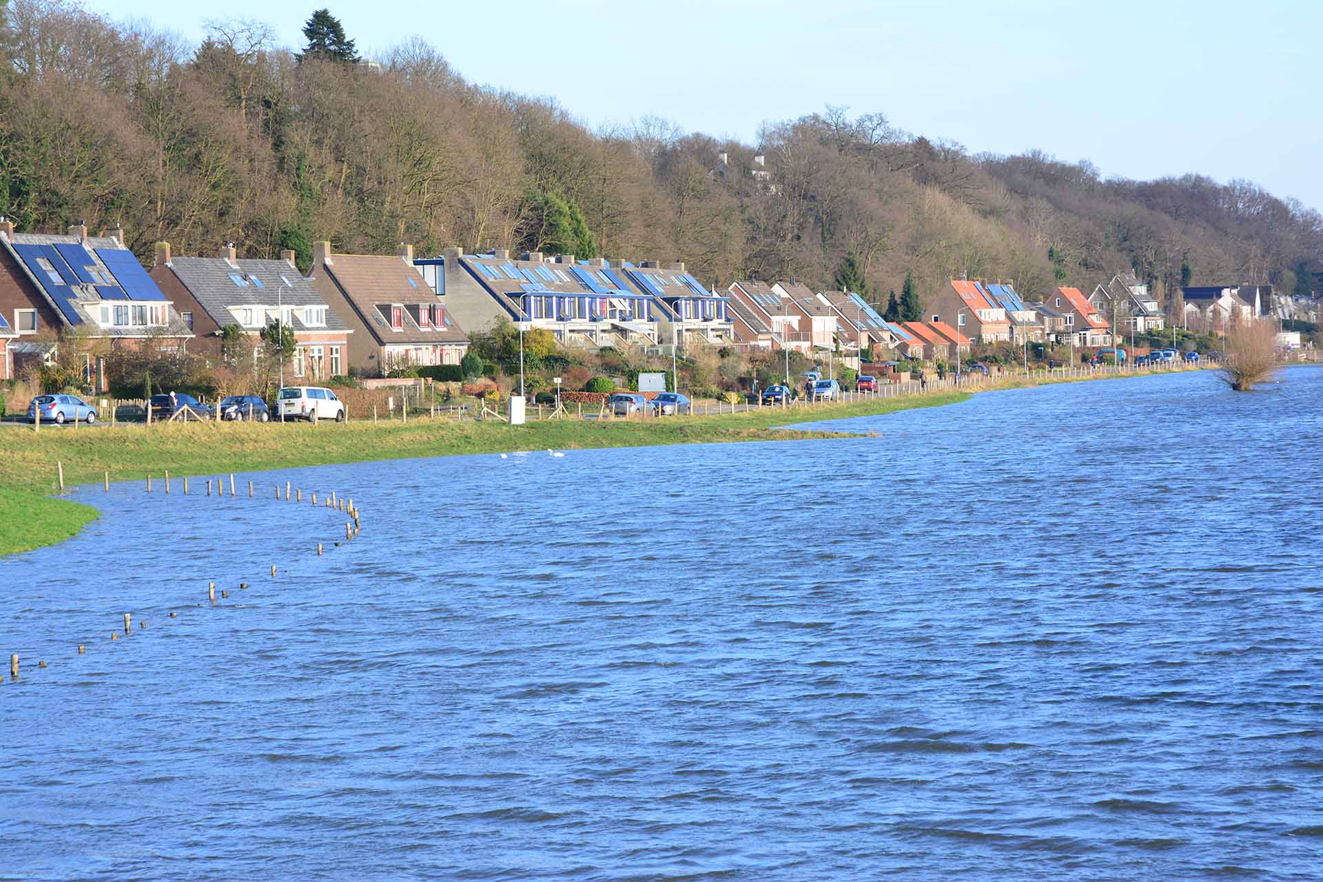
The Grebbe dike is located between Wageningen and Rhenen and protects the 250,000 inhabitants of the Gelderse Vallei against the water of the Lower Rhine. In 2023, the more than five kilometer long dike will be reinforced by the Vallei en Veluwe Regional Water Authority. In the future, climate change will cause more water to flow through the Rhine. Therefore, reinforcing the Grebbe dike will ensure that the hinterland remains safe.
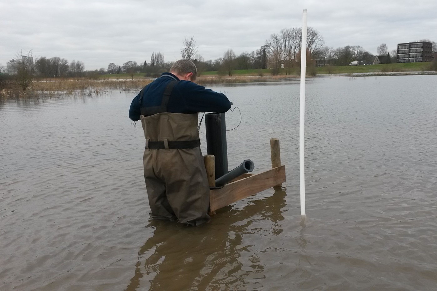
Thanks to Royal Eijkelkamp's quick and adequate action, we were able to continue to measure during the high water.

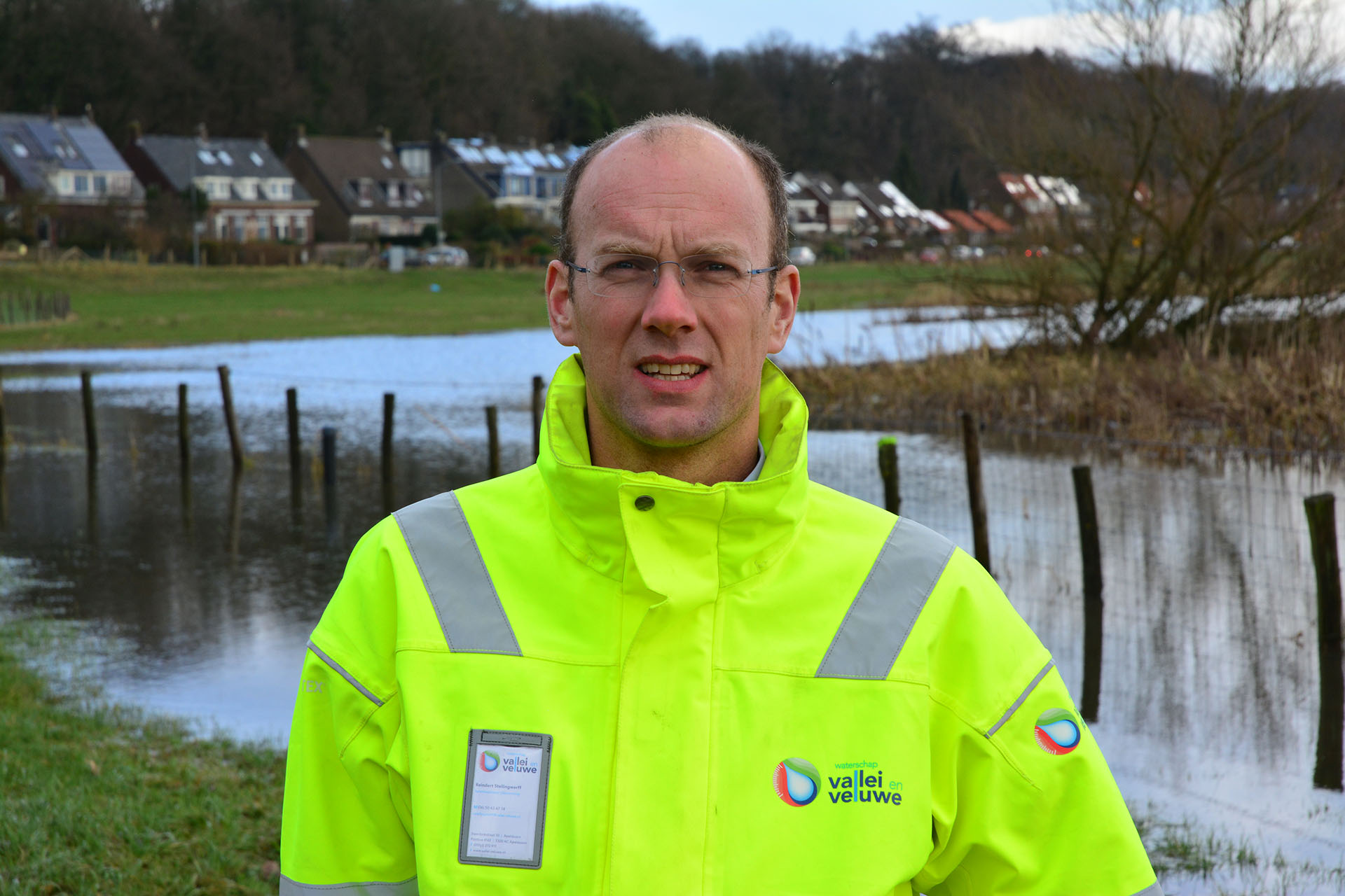
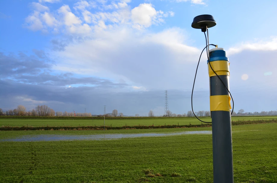
A groundwater monitoring network will be installed to predict how strong the new dike must be at extreme high water levels. Reindert Stellingwerff, Flood Defense Policy Advisor at the Vallei en Veluwe Regional Water Authority, explains: 'We want to make the best possible design for the Grebbe dike. For that, you need data. As a Regional Water Authority, we have been manually measuring groundwater levels at the dike for twenty years, but at a much lower interval. The new measurement setup gives us access to much more data. Besides, we fell head over heels. During the construction of the measuring set-up, we were immediately confronted with high water. Thanks to Royal Eijkelkamp's quick and adequate action, we were able to raise the measuring points outside the dikes immediately, so that we could also measure during high water. You do not always start with extensive measurement in the early exploration phase of a project. We did now, with the luck that we immediately had high water.'
'Flood defense managers want to know more and more about a dike. For that, measuring and monitoring is necessary. Even in places where reinforcement is not needed immediately. All flood defense managers in the Netherlands are busy calculating their dikes to assess how strong the dike is. For this, they need groundwater levels from under the dike and from the deeper sand layers. Preferably all year round. In this way, they understand how a dike behaves during a high water situation. They then make a translation to an extreme situation in which they test and monitor the dike when it really does occur. Is the dike sufficient, or not?'
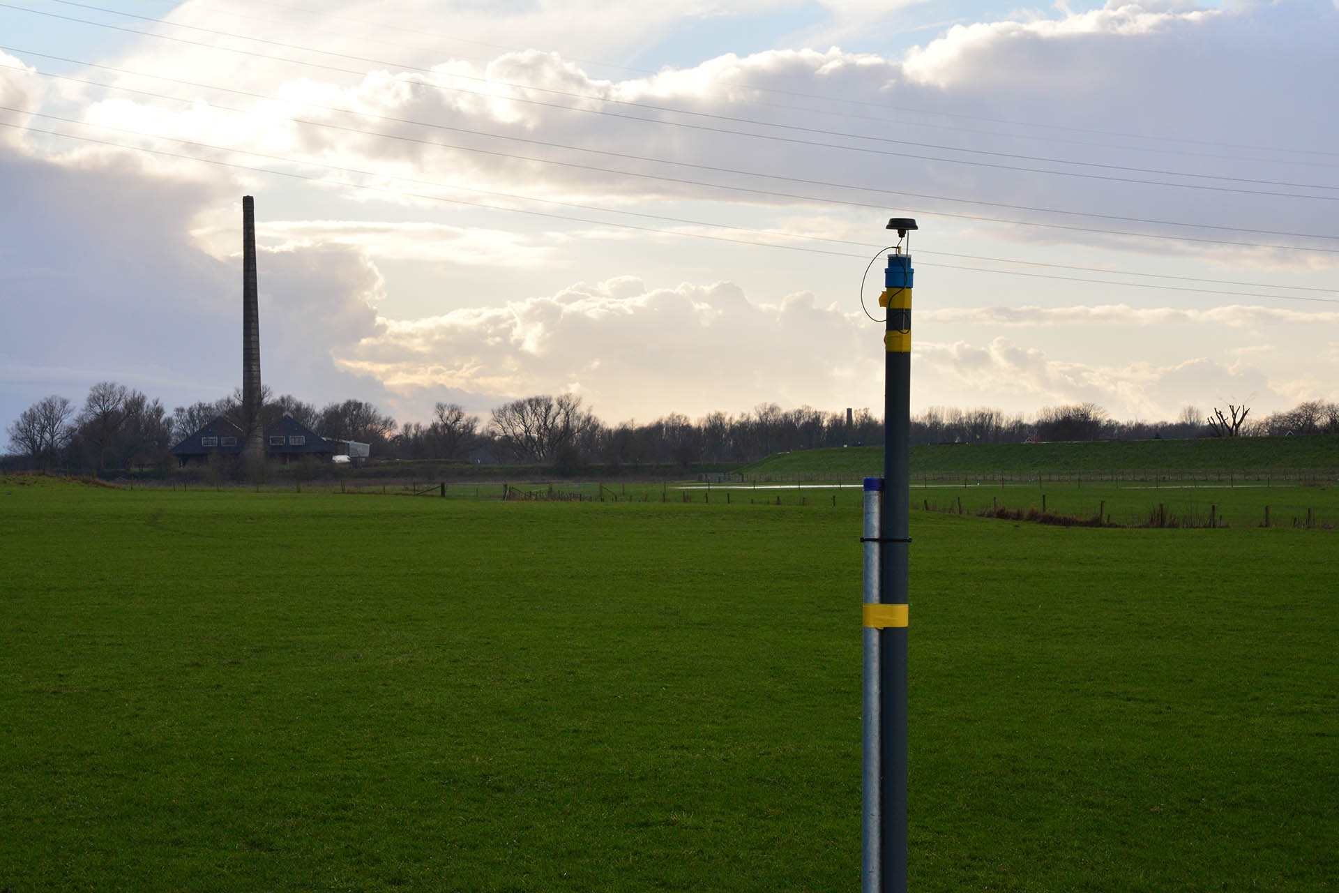
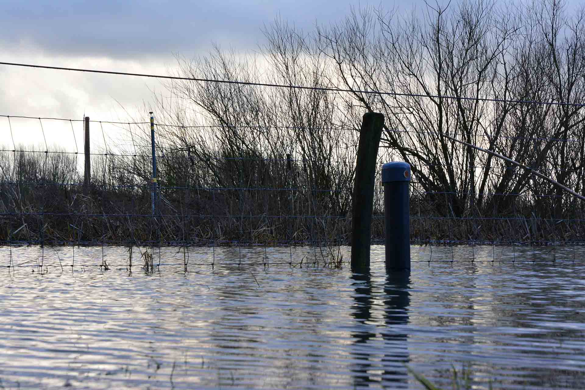
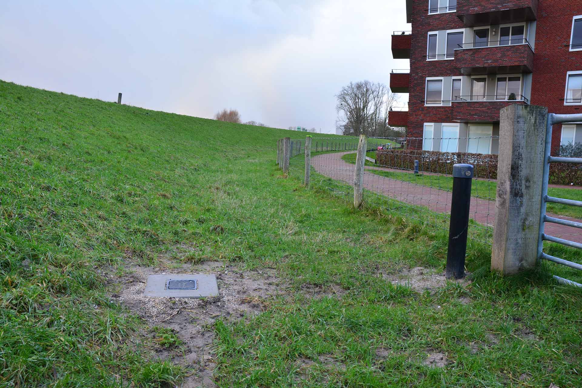
A monitoring well is being raised
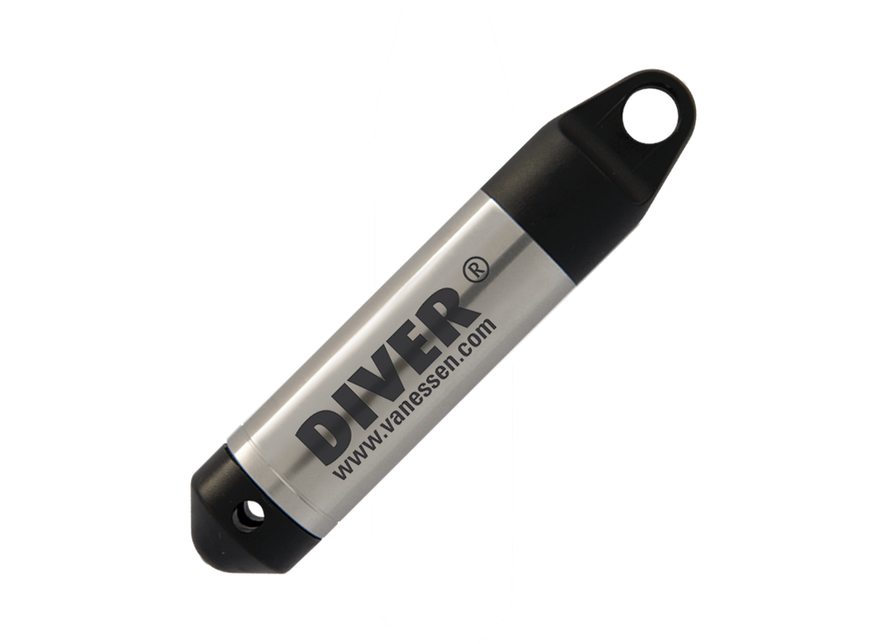
'Our measurement set-up has been set up by Royal Eijkelkamp in such a way that we can continue to measure and monitor in the coming years. After all, an administrator would prefer to have measurement series for decades. The data obtained is sent to the Dike Data Service Centre, a platform for the storage of dynamic measurement data in and around dikes. In this platform, we have the possibility to store, analyze and view large amounts of dynamic measurement data in a geographical sense as well as in tables and graphs. We have developed the Dike Data Service Center together with five water boards and Rijkswaterstaat. We hope that more and more flood defense managers will join in so that we can get safe, future-proof dikes throughout the Netherlands.'