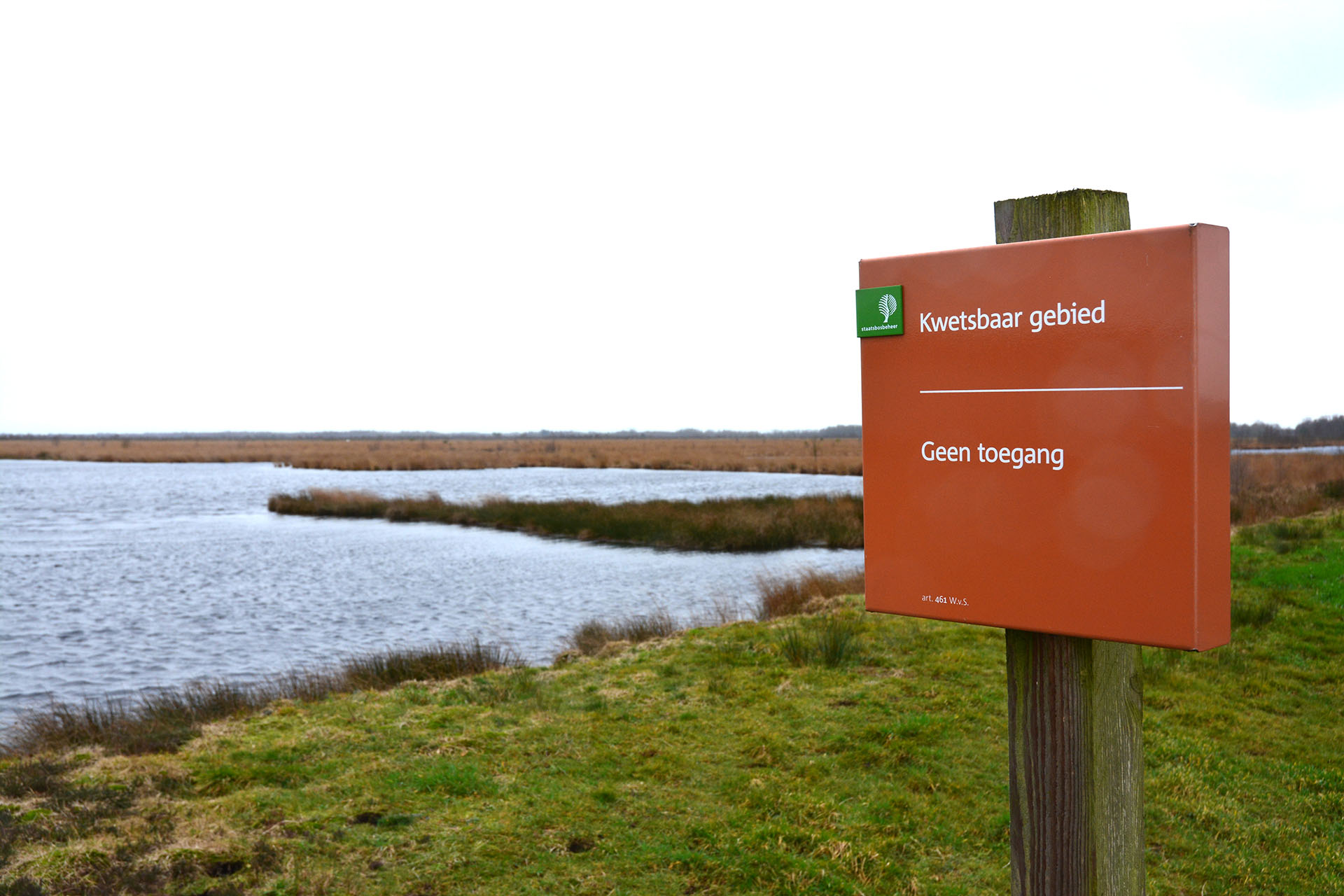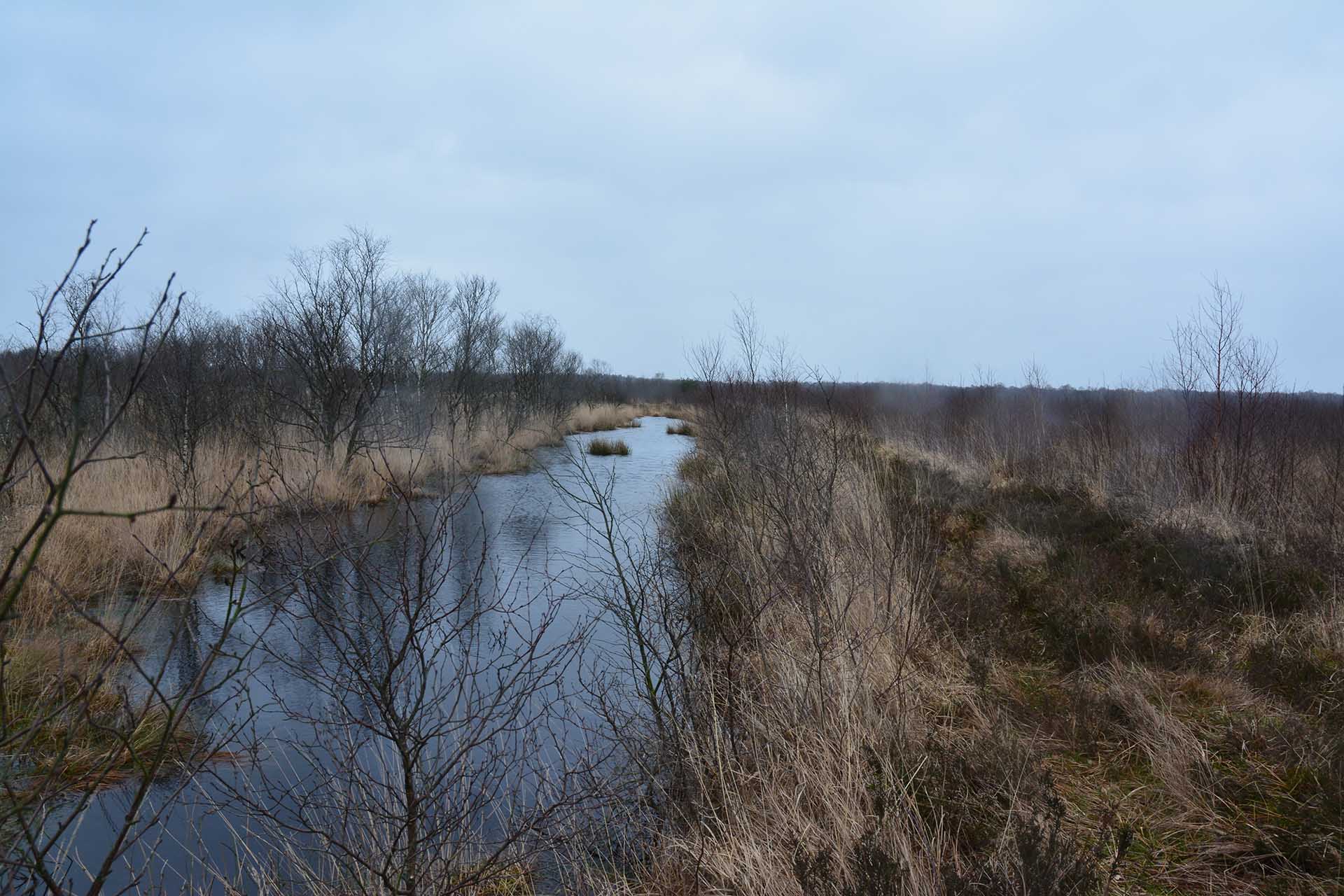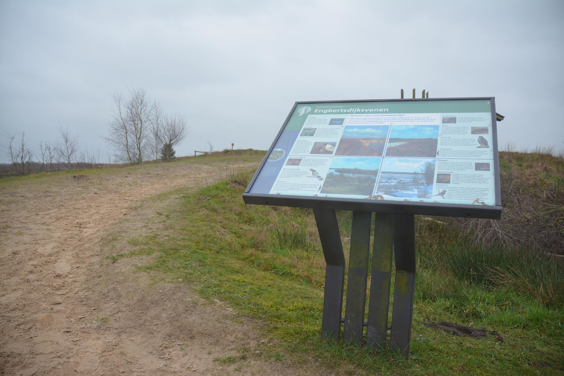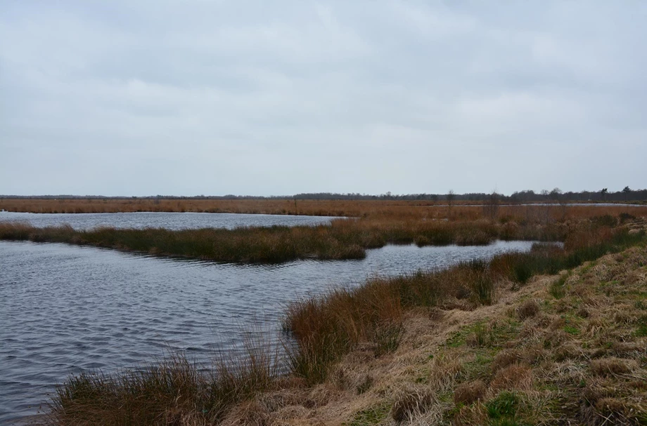
Engbertsdijksvenen is a Natura 2000 nature preserve in the Province of Overijssel in the Netherlands. Natura 2000 is a European network of protected natural areas. This special nature preserve is a thousand hectares in size. It is part of a former raised bog region and still contains a small core with living raised bog with an original thickness of five meters. In addition to the living raised bogs, there is also more than 600 hectares of recovering raised bog left to admire in the Engbertsdijksvenen region.
European regulations make it necessary to maintain and restore the existing raised bog. The nature reserve is namely battling drought. Marcel Clewits, Technical Manager of the Engbertsdijksvenen Planning Project, explains: 'Due to land reclamation, for example for agricultural purposes, the groundwater level has dropped. Now, a development plan is being prepared that includes the formulation and implementation of remediation measures. This includes compartmentalising and filling in ditches and trenches. Everything is intended to raise groundwater levels and to retain the rainwater as much as possible. In this way, the recovering raised bogs become sufficiently moist.'
The monitoring network was developed together with local residents and landowners.

The key issue within the Engbertsdijksvenen Planning Project is how to effect the rewetting required to achieve the nature objectives of this area. Together with other experts, including hydrologists and ecologists, a core team is working on further detailing and elaborating the regional analysis. Ultimately, they will come up with a proposal of suggested measures and a well-supported development plan. The development plan will be adopted by the Project’s Management Advisory Committee and submitted to the Province of Overijssel.
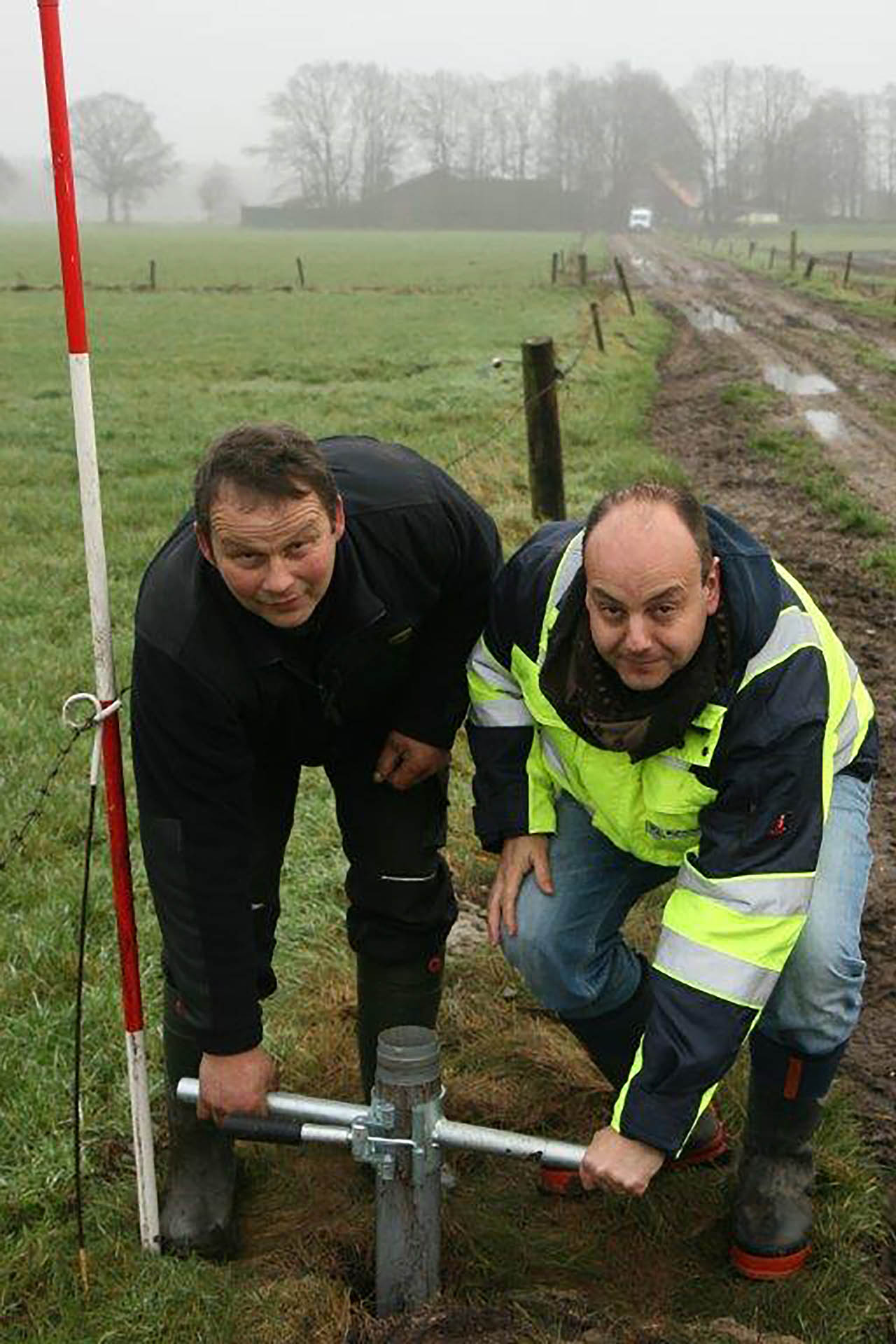
'To map out the groundwater levels, we installed a groundwater monitoring network. We now have 59 monitoring sites. The monitoring network was developed together with local residents and landowners. They contributed ideas about where best to install the monitoring wells, because they are directly involved and have very specific knowledge of the area.'
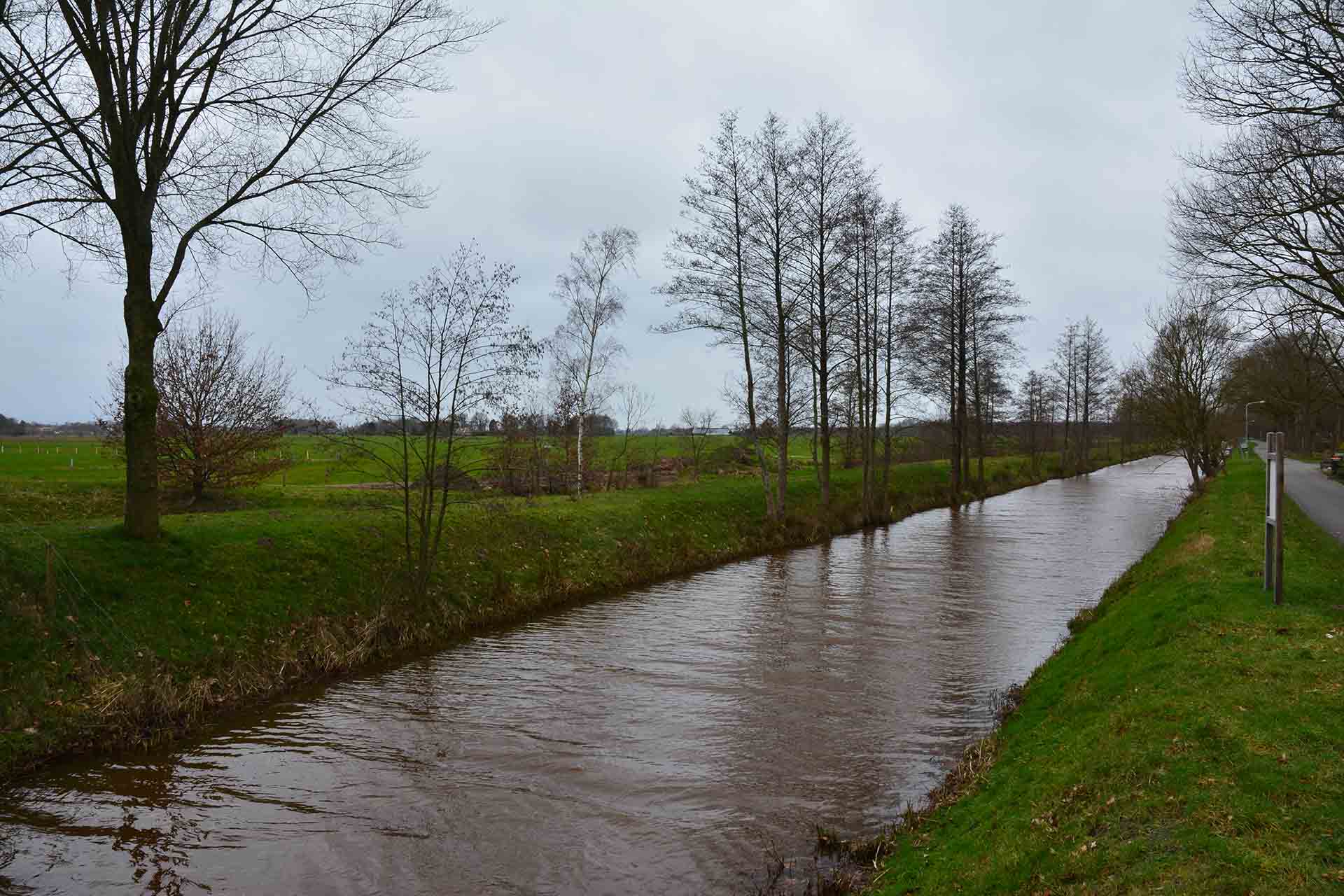
'The measures are not only confined to the nature preserve, but beyond it as well. The LTO Noord, an interest group of and for agricultural farmers in the nine Dutch provinces above the Meuse River, has been asked to prepare a development plan for this purpose. Rewetting is essential for restoring the living raised bogs in this nature preserve. However, the surrounding area must stay as dry as possible. The measures we are proposing must have as little impact on the surrounding environment as possible. This is why we want to gain proper insight into the groundwater levels at the present time as well. Over the coming years, a great deal of measuring and monitoring will occur all around this nature preserve. We are building up a measurement series to have a clear picture of the effects of the implemented measures. Then, we can respond to this on a timely basis.'

Need advice choosing the right product for your application? Our specialist Sandra is happy to help.