
Groot Salland Water Board is situated in the west of the Dutch province Overijssel. It is responsible for the water management of an area of 120,000 hectares. It stretches from the cities of Holten to Deventer, Kampen, Genemuiden and Staphorst. In 2014, the water board switched to digital groundwater measurements.
I always say: those who stand still today will be behind tomorrow

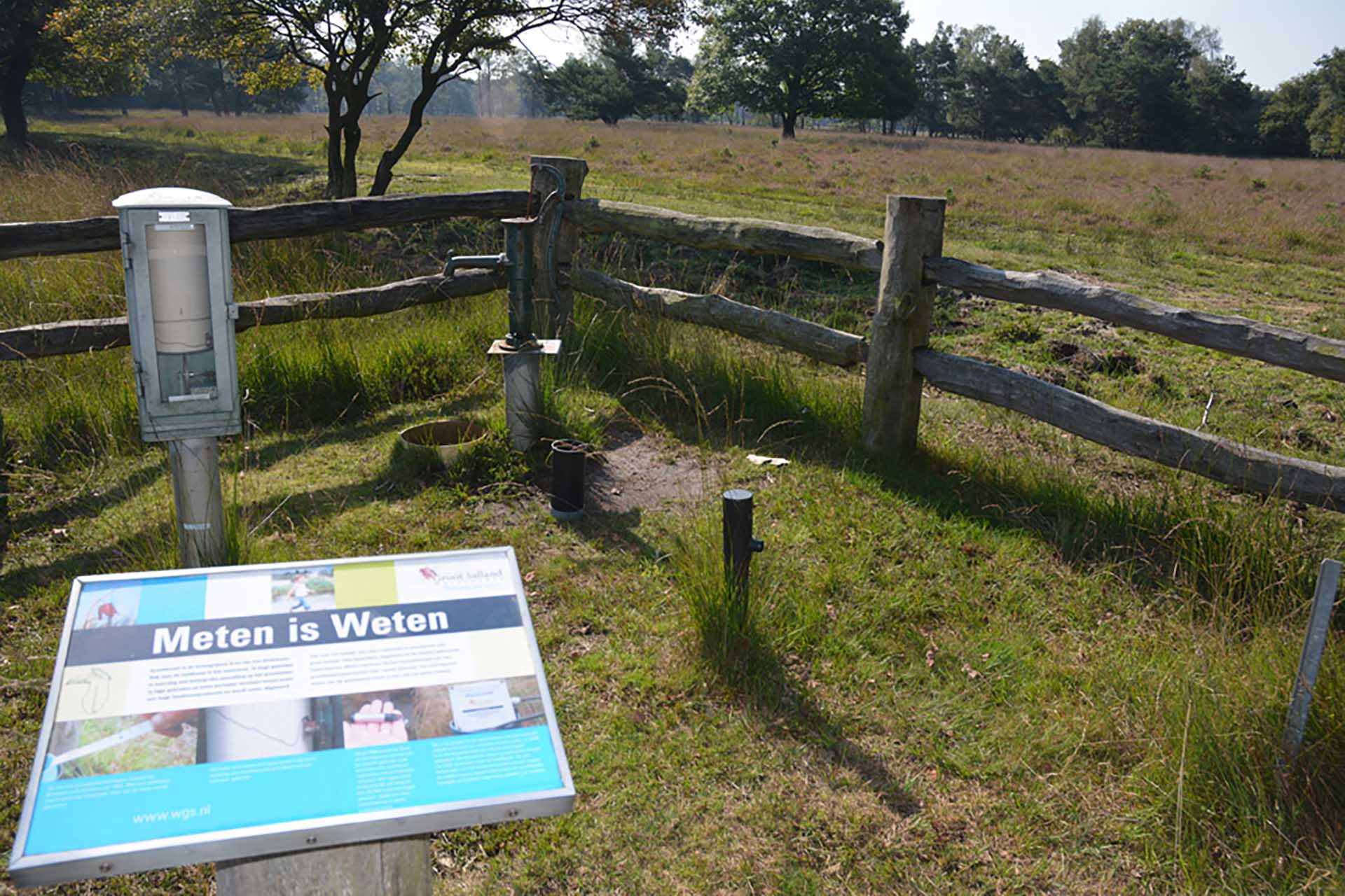
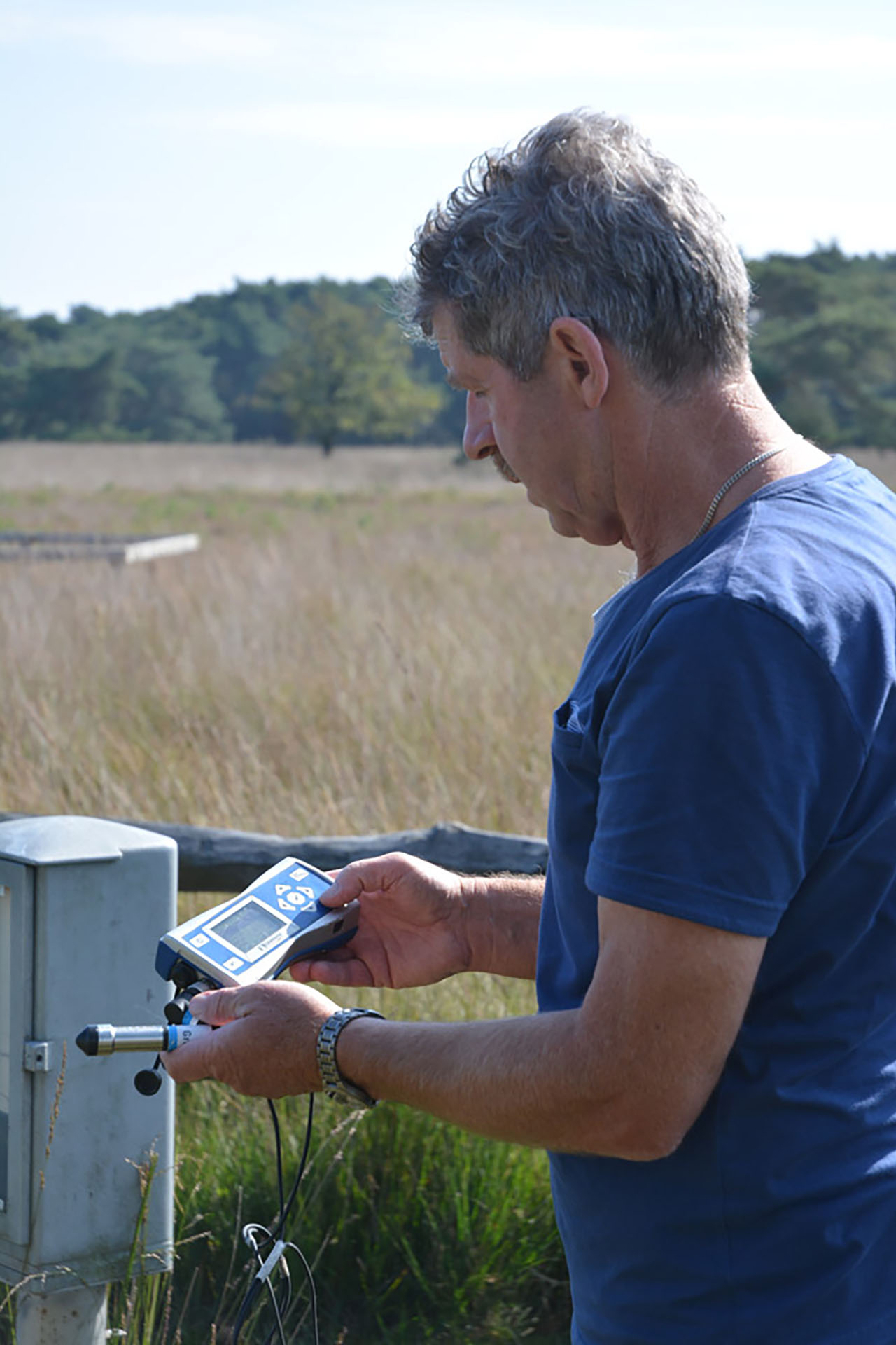
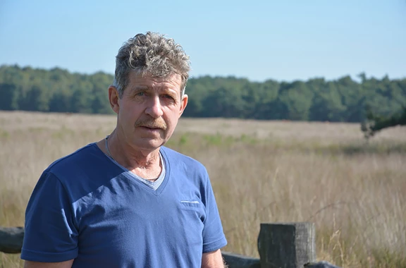
Sjaak Bruggeman, Employee of the Groundwater Measurement Network, is standing on the place where he carried out his first groundwater measurement 40 years ago. Here, he talks enthusiastically about Groot Salland Water Board’s switch to a digital groundwater level measuring system. 'Digital measurements provide more and improved data. This is needed for good water level control, in which we also take into account the groundwater levels and weather conditions.'
'In the past, groundwater levels were measured and recorded manually each month on the 14th and 28th. I was initially only responsible for the entire measurement area of the smaller Salland Water Board. Later, the Water Board expanded into Groot Salland Water Board with five water boards and a purification board. On busy days, 15 of us were in the field measuring groundwater levels, each in their own area. Considering that we sometimes needed to visit around 130 measuring points a day, we certainly covered a lot of miles.'
'In 2013 we had almost 1000 measuring points. That’s reduced again now, because we have more and more data, and we no longer use all the measuring points. Therefore, together with our hydrologists, we are exploring which measuring points will be needed in the future.'
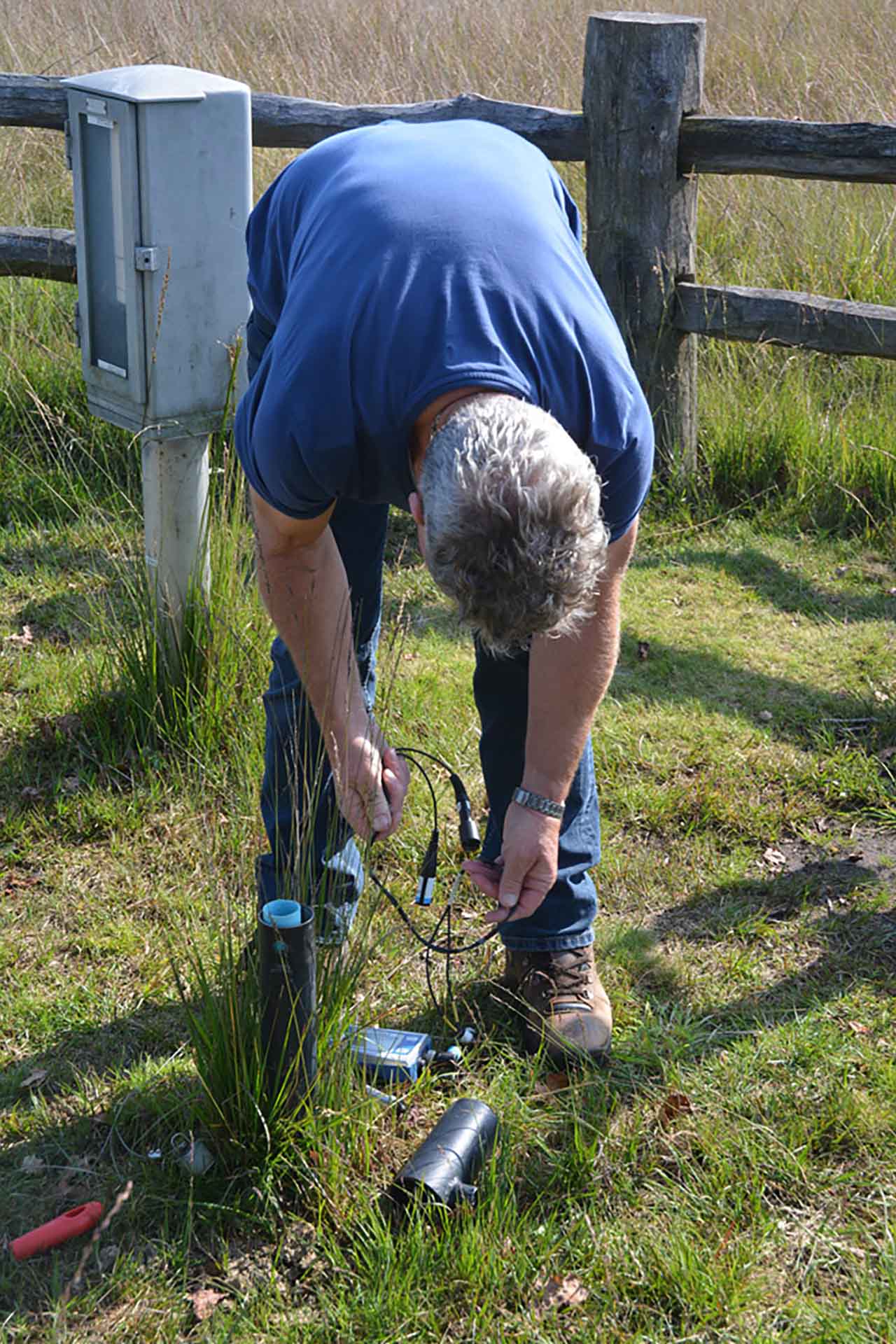
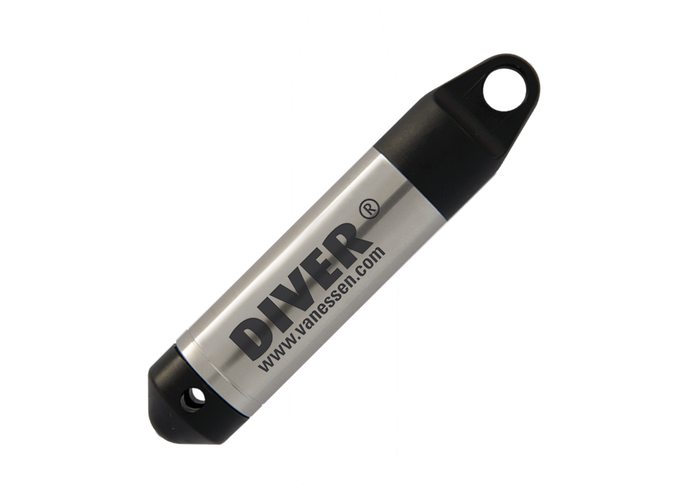
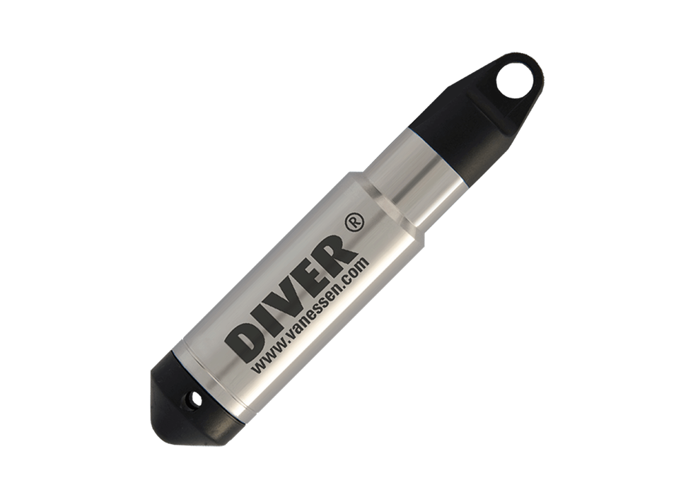
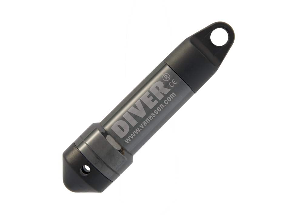
'The fact that we have more and better data is partly due to the Diver water level logger. This data logger for ground water levels, the most used in the world, can store dozens of measurements a day. Where we previously needed 15 people to manage the measuring system, we now only need two.'
'I held my first Diver in my hand in 1997. It belonged to a colleague of mine who was using it to investigate a dyke. At that time it was still like a huge cigar. I quickly became familiar with it. We ordered 50 and now we couldn’t do without it. All our measuring points are now 'divered'. It provides more data in less time. Beside, a Diver hardly costs anything.'
'All groundwater data that we now receive from the Diver arrives in our main office. There, our hydrologists study the data and devise plans for increasingly improved water level control.'
'Do I miss measuring manually? Of course, I'm not outside as much in this fantastic countryside. And I had a lot of contact with people here. But an increasingly improved and safe water level control comes first, so a digital groundwater level measurement network can't be avoided. I always say: those who stand still today will be behind tomorrow.'

Need advice choosing the right product for your application? Our specialist Sandra is happy to help.