
Cortenoever is one of the best-preserved serpentine landscapes in the Netherlands. A serpentine landscape consists of a succession of serpentine channels, stream ridges and embankments. The province of Gelderland, Rijkswaterstaat, Staatsbosbeheer and the municipality of Brummen are working on a plan for nature development in Cortenoever.
We were really lacking important groundwater information to arrive at a concrete plan

'Within the Cortenoever project we achieve objectives from Natura 2000, the Gelders Nature Network (GNN) and the Water Framework Directive (WFD)', explains Kees Buddingh, Eco-hydrologist at the Province of Gelderland. 'Together we have a responsibility to ensure the strengthening of existing nature and the creation of new nature.' The parties try to achieve the following goals:
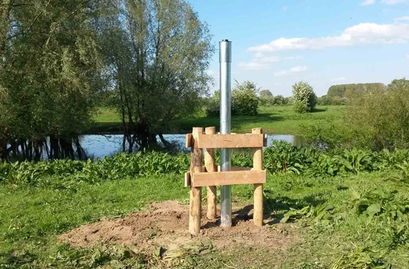
'Important groundwater information was missing in order to arrive at a concrete plan. We know the water levels of the river. However, we were not aware of the effects of these water levels on the channels that we want to dredge. Moreover, it is unclear how strong the fluctuation in the channels is. To map this data, I asked Royal Eijkelkamp to install a groundwater monitoring network. We use this groundwater monitoring network to monitor for two years how the river reacts.'
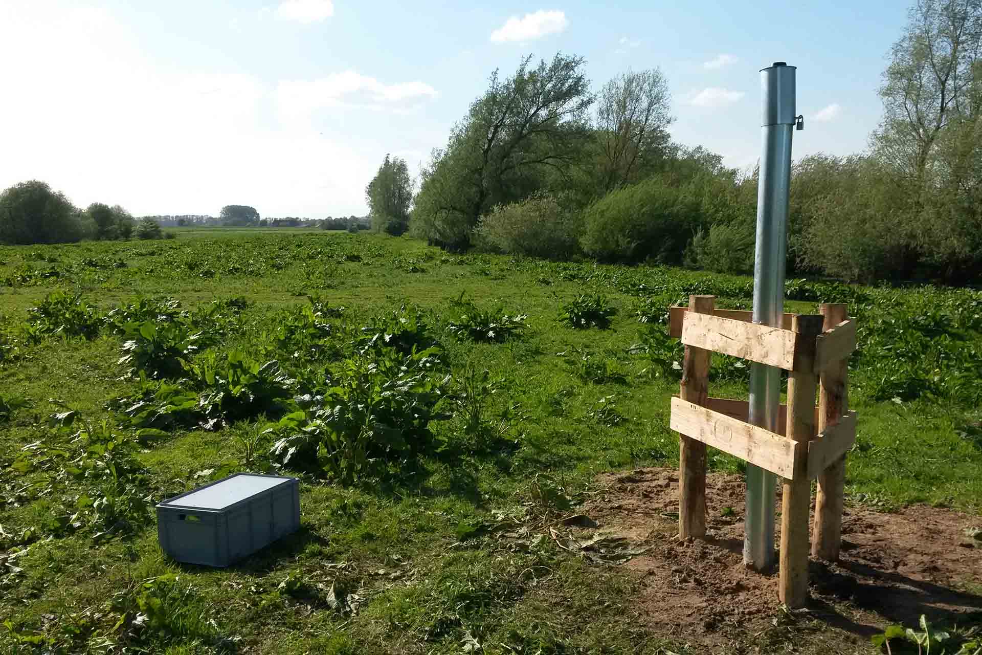
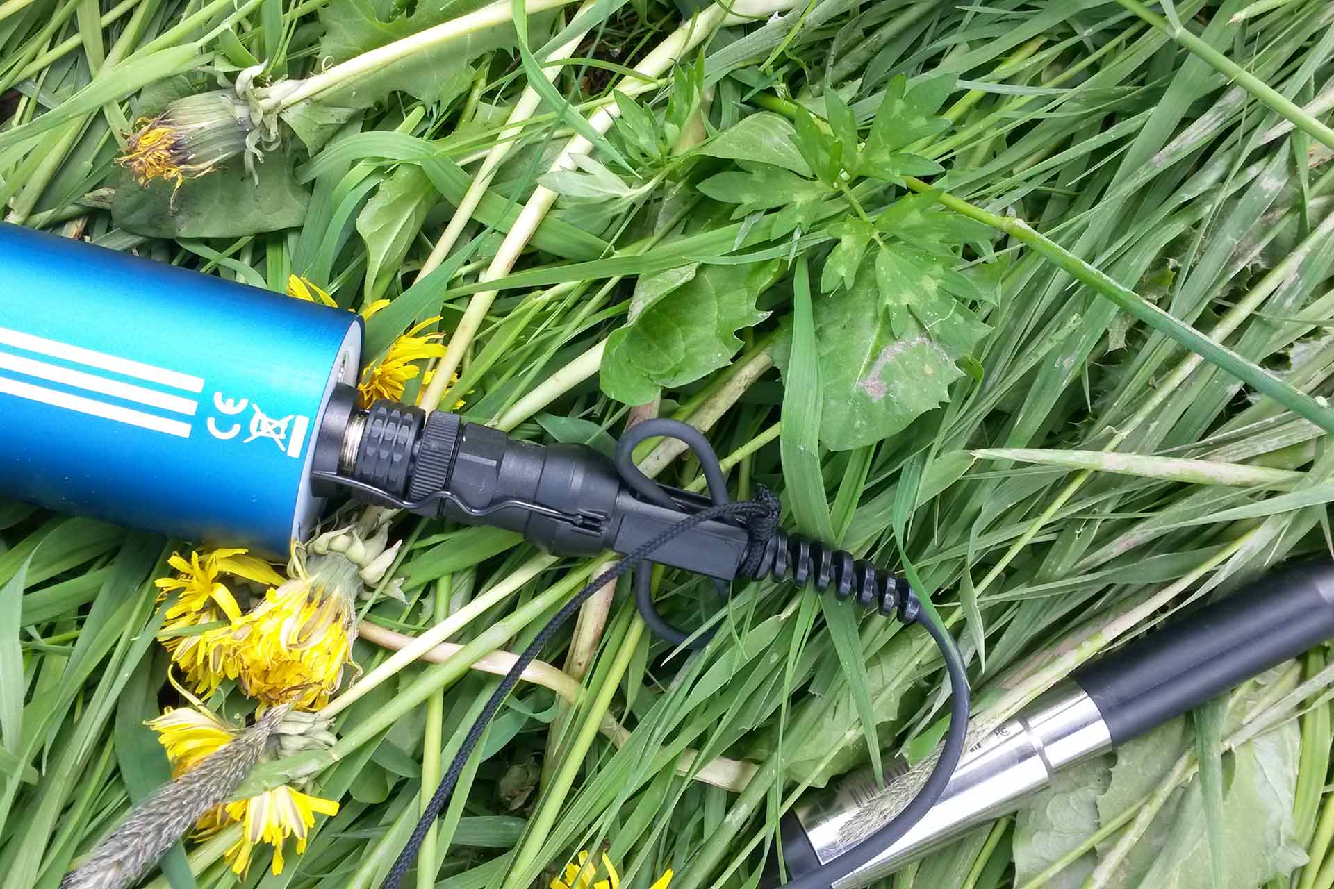
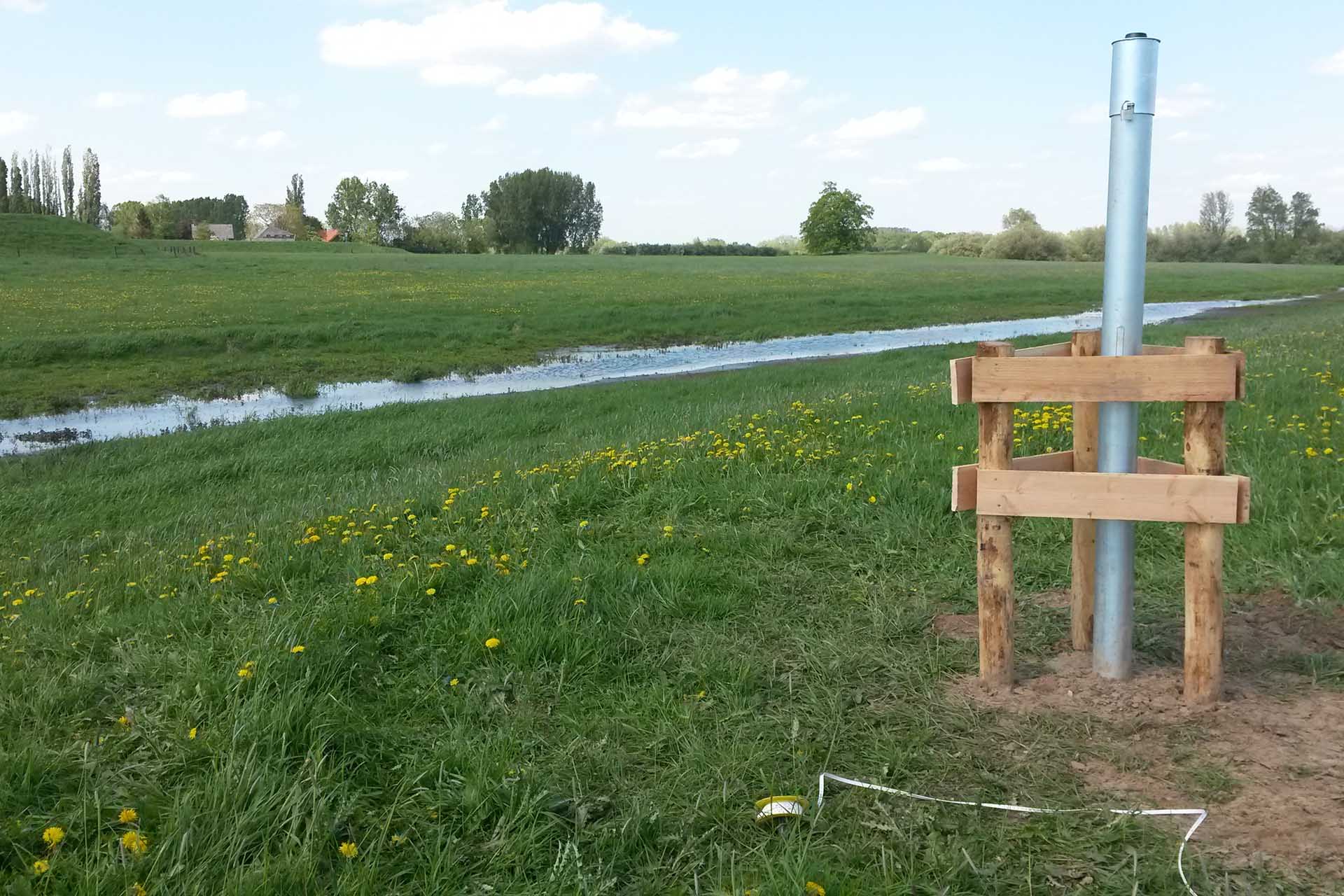
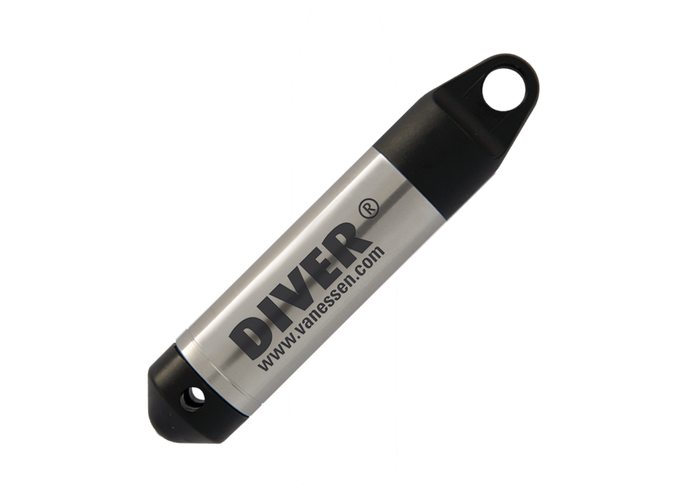
'We have installed monitoring wells fitted with a Diver at three different locations. This gives us a clear picture of the interaction of groundwater, river water levels and precipitation surplus. We use this measurement network to map out how deep we need to dredge, how we can ensure that certain parts do not dry up and what the average water level is.'
'Nowadays, it is all about data. Each monitoring well is equipped with a modem that sends the data to an online portal where I can easily access it. The beauty thereof is that there is no need to visit the different locations every time: the sensor and the modem register everything.'
Need advice choosing the right product for your application? Our specialist Sandra is happy to help.